.png)
.png)
.png)
.png)
Unlock the potential of your district with the District Resource Map—a comprehensive tool for exploring, analyzing, and sharing vital geospatial and non-geospatial data
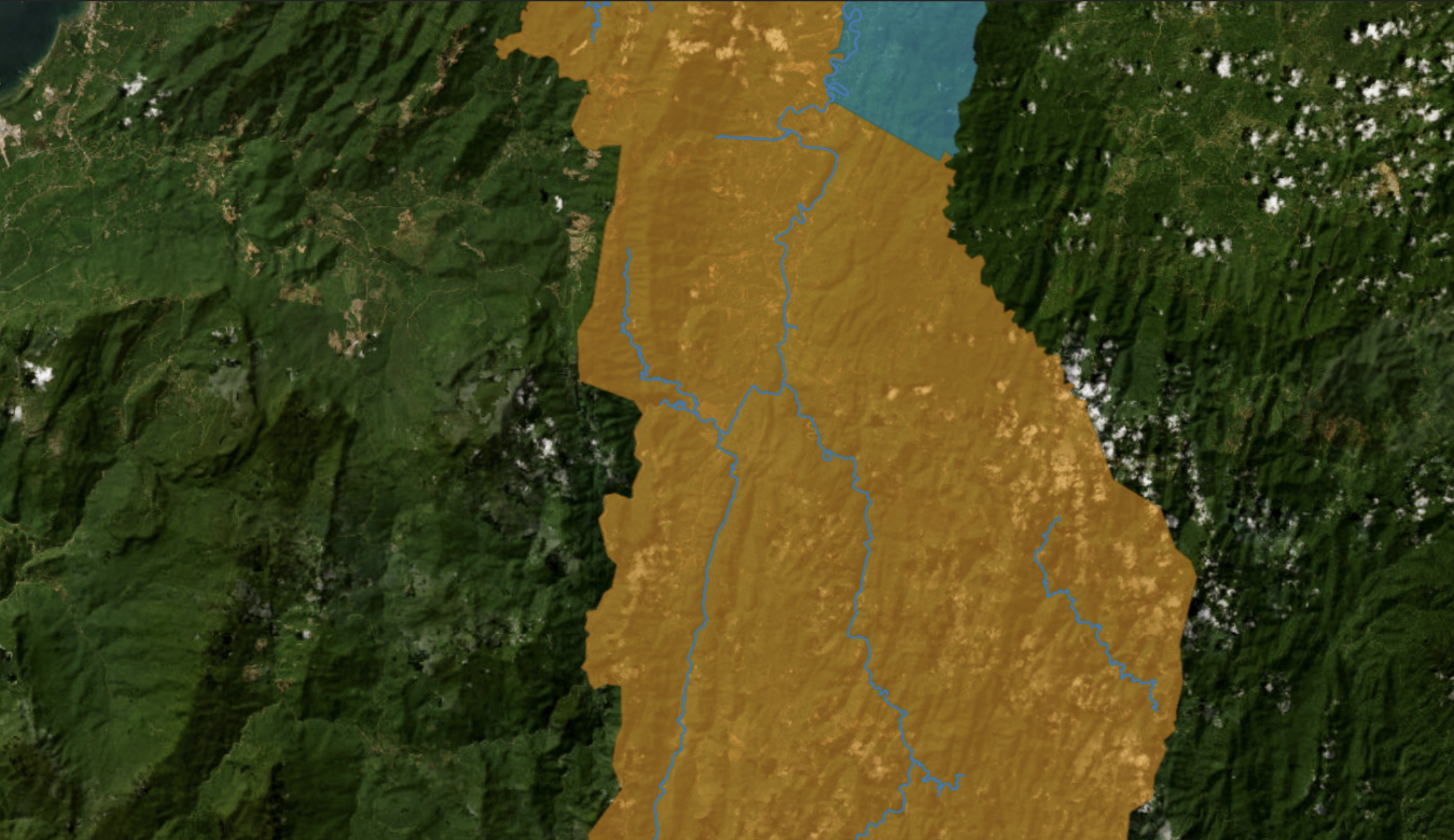
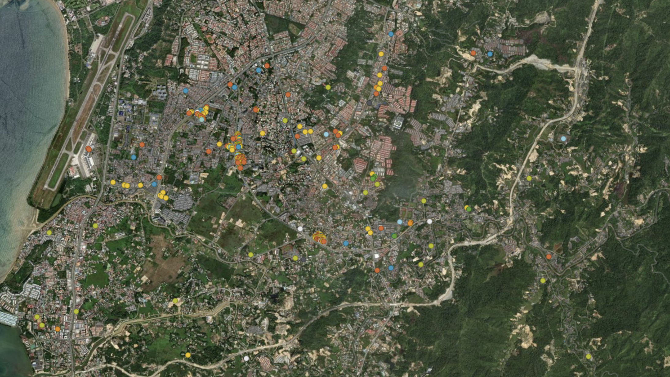
LoginA District Resource Map is a comprehensive visual tool that integrates geospatial and non-geospatial data to provide insights into a district’s resources, infrastructure, and land use. It helps in identifying key assets such as transportation networks, public facilities, natural resources, and economic zones, making it valuable for planning, development, and decision-making. By combining various datasets, stakeholders can analyze trends, assess resource distribution, and optimize land management strategies. This map serves as a crucial reference for government agencies, researchers, businesses, and communities looking to enhance regional development and sustainability.
Explore detailed maps with real-time data layers.
Access various datasets for better insights.
Tailor the map to fit your specific needs.
Collaborate and share data with ease.
Experience smooth and efficient performance.